The Best Hikes to Views
Hikes By Features : Waterfalls | Views | Historic Sites | Kids and Families
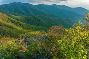
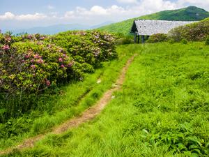
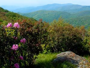
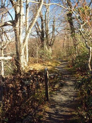
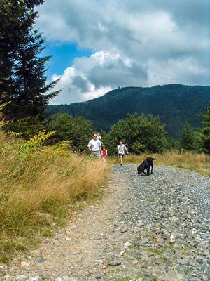
Here are what we consider to the best hikes to views in Western North Carolina.
With its abundance of forests and towering trees, clear vistas aren't a common part of your typical experience on this area's trails. So when a good view does present itself, there's almost always a trail leading to a place where you can take advantage of it.
Whether it's a gently sloping rock face or the top of a sheer cliff, you'll appreciate the sense of openness available at overlooks where the trees are thin or absent.
Bring your camera, because chance to see the mountains in all their glory are only available by hitting some of the trails described here!
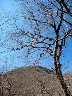
Mount Pisgah
A classic Blue Ridge Parkway hike, this trail continues onto National Forest land to climb to the summit of one …
3 mi, Climbs ModeratelyTread Condition: Moderately Rough
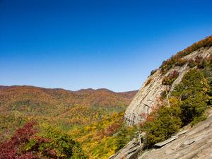
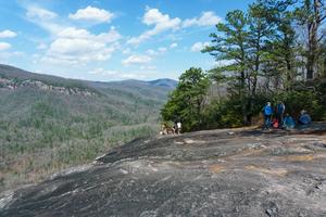
Looking Glass Rock
This hike takes you to the top of a Pisgah National Forest icon: the huge granitic pluton known as Looking …
6.4 mi, Climbs SteeplyTread Condition: Moderately Rough
Craggy Pinnacle
This popular trail climbs a short distance from a Blue Ridge Parkway overlook to a high, rocky peak with commanding …
1.4 mi, Climbs ModeratelyTread Condition: Some Obstacles
Stone Mountain Loop
Passing three of the most sought-out points in the park - the summit of Stone Mountain, the Hutchinson Homestead, and …
4.5 mi, HillyTread Condition: Moderately Rough
Mount Mitchell
Starting at the Black Mountain Campground on the Toe River, this hike gains 3600 ft in elevation over 5 1/2 …
11.4 mi, Climbs SteeplyTread Condition: Moderately Rough
Ridgewalk
Following the mostly level upper portion of the Bennet Gap trail, this is an easy hike along a ridge to …
1.4 mi, Few HillsTread Condition: Some Obstacles
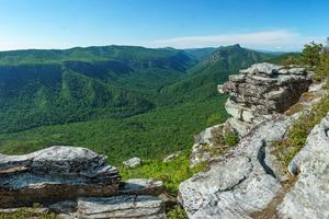
Snowball
Not to be confused with Hawksbill Mountain in the Linville Gorge, Hawkbill Rock is an outcrop along the ridge between …
2.75 mi, HillyTread Condition: Moderately Rough
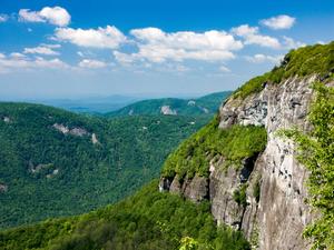
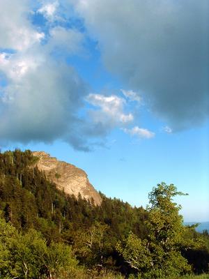
Whiteside Mountain
This excellent loop, designated a National Recreation Trail, climbs to the top of Whiteside Mountain, with its spectacular 700 ft …
2.5 mi, HillyTread Condition: Moderately Rough
Craggy Gardens
This self-guiding nature trail passes through a high-elevation Northern Hardwood forest to a Heath Bald, and finally into a Grassy …
1.4 mi, Climbs ModeratelyTread Condition: Some Obstacles
Sam Knob
At the top of an imposing mountain peak located at the edge of the Shining Rock Wilderness, spectacular views await! …
2.2 mi, Climbs ModeratelyTread Condition: Moderately Rough
Summit and Rhododendron Trail Loop
This mountaintop self-guiding nature trail, which is also a Kids In Parks TRACK trail, is a gem in North Carolina's …
1.5 mi, Few HillsTread Condition: Some Obstacles
Panthertown Valley Tour
This is a large loop with a wide variety of main attractions. The trails will take you past lazy, meandering …
8.8 - 10.0 mi, HillyTread Condition: Moderately Rough
Shortoff Mountain
Climbing one of the most prominent peaks on the rim of the Linville Gorge, this hike takes you to the …
5.1 mi, Climbs ModeratelyTread Condition: Moderately Rough
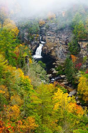
Linville Falls - Erwin's View
Linville Falls has two main trails: Erwin's view and Plunge Basin. Erwin's view is the easier of the two, and …
1.5 mi, Few HillsTread Condition: Some Obstacles
Green Knob
This hike takes you along the Mountains to Sea Trail in a remote section of the Pisgah National Forest. The …
9 mi, HillyTread Condition: Some Obstacles
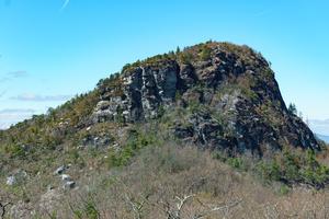
Table Rock
This trail climbs steeply to the top of a knife ridge, which from afar looks flat, giving the mountain its …
2.0 mi, Climbs ModeratelyTread Condition: Moderately Rough
John Rock Loop
This hike takes you past a small but attractive waterfall, up to the top of John Rock, which is the …
5 mi, Climbs SteeplyTread Condition: Moderately Rough
Devil's Courthouse
This hike takes you to the summit of Devil's Courthouse, a high-elevation rocky summit with a fantastic cliff-top overlook. But …
4.3 mi, Climbs ModeratelyTread Condition: Moderately Rough
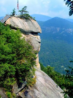
Chimney Rock Tour
The short description of this hike could simply be "Hike all of Chimney Rock's trails!" Though Chimney Rock may resemble …
4.5 mi, Climbs SteeplyTread Condition: Some Obstacles
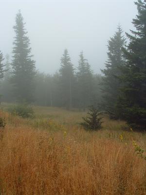
Potato Knob Fields
A well-known area landmark, Potato Knob is a rocky, prominent peak visible from the Blue Ridge Parkway, many points in …
2 mi, Climbs ModeratelyTread Condition: Moderately Rough
Camp Alice/Commissary
This is a high-elevation hike that, while providing the same storied Black Mountains scenery, is both easier and less often …
2.0 - 3.6 mi, Climbs GentlyTread Condition: Few Obstacles