Ridgewalk
At A Glance
TODO: #32 Boilerplate

1.4 mi round-trip
Difficulty Rating: 1.76 ![]()
Climb: Few Hills ![]()
Tread Condition: Some Obstacles ![]()
Highest Elevation: 3580 ft
Climb Total: 125 ft
Configuration: Out-and-back
Starting Point: Avery Creek Road (FR 477) at Bennett Gap, between the Pink Beds and the Pisgah Horse Stables
Trails Used: TODO dynamic list Bennett Gap

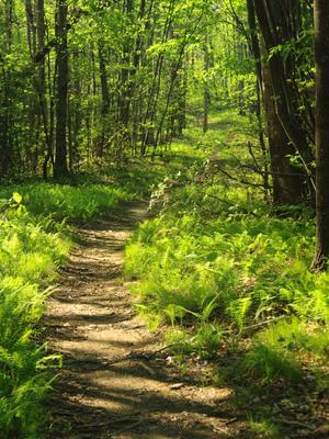
Begin the hike behind the metal gate. A sign for the Bennett Gap trail stands beside the old roadbed, which is now a trail. The rocky old road begins a short climb through some young woods, with lots of vines growing in the trees. Sections of the woods are open, with the ground covered by grass and ferns.
The climb is not very difficult, and after about 1/4 mile it levels off before entering an open meadow on top of the ridge. The meadow is kept open by the Forest Service by mowing, in order to provide habitat for wildlife that likes open, grassy areas - or those that like to live near the edge of such openings. If you're quiet, you might see something here - perhaps a deer, rabbit, or groundhog.
Follow the trail through the meadow, and exit into the woods on the other side. The woods here are similar to the ones on the other side, and lots of ferns grow in between the trees. The trail remains nearly level at this point. Gradually, the ridge starts to steepen on either side of the trail. As this happens, watch for a noticeable change in the vegetation.
As you near the 1/2 mile point, the old road bed you've been following ends and the path becomes a purpose-built trail. You'll start to notice how narrow the ridge becomes. The soil is rockier here and less rich than farther back on the ridge, and the trees start to get shorter and gnarlier. Mountain Laurel and rhododendron begins to fill in the understory. Exposure to the elements and perhaps (in the past, at least) more frequent wildfires contribute to the changing nature of this forest on this steeper part of the ridge.
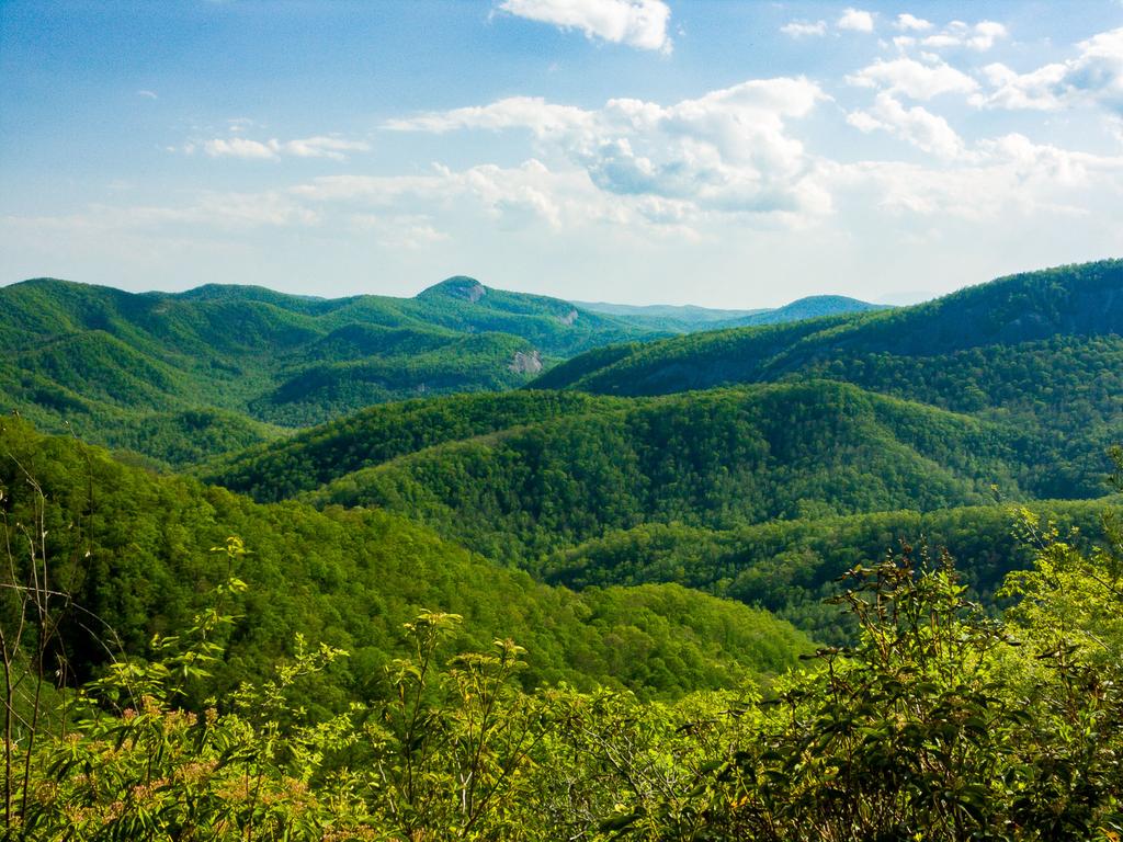
The trail goes downhill a bit and there will start to be some rocks in the path, although they're not too bad at first. You might notice a short side path heading to the right, which leads to a good view to the southwest. On a clear day, especially during fall or spring, it's a spectacular vista, with Looking Glass Rock and the high Balsam Mountains to the far right, and further to the left, craggy John Rock and Cedar Rock Mountain with folds of ridges leading up to it.

This is a great place to stop and enjoy a snack. If you wish, you could end the hike here - this would make a worthy destination even if you didn't go any farther! Stay back from the edge - although it is not a cliff, per se, it's a steep drop over the side of the ridge right here.

If you wish to continue, go back to the trail and turn right, resuming the downhill walk. This section gets a bit rockier with some steps in one spot. It goes around a short switchback. (Keep in mind you'll have to hike this uphill on the way back). About 100 feet past the switchback, and 0.7 miles from the trailhead, the trail goes up over a tiny knoll on the narrow ridge (though it's only about a 15 foot climb).
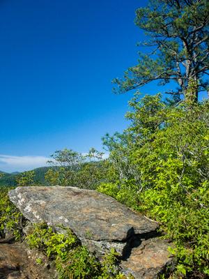
On the left is a protruding rock below a group of pine trees. There are some more excellent views from atop this rock. To the northeast, the neighboring ridge - Black Mountain - can be seen. You can also see back toward Looking Glass Rock from here, but mainly in the winter.
This rock marks the end for this hike, although the trail continues and starts to drop steeply, eventually to come out on Avery Creek Road near the horse stables. Return to your vehicle on the same path.

