Glen Falls
At A Glance
TODO: #32 Boilerplate

1.1 mi round-trip
Difficulty Rating: 2.06 ![]()
Climb: Climbs Steeply ![]()
Tread Condition: Moderately Rough ![]()
Highest Elevation: 3500 ft
Climb Total: 430 ft
Configuration: Out-and-back
Starting Point: Glen Falls Parking Area
Trails Used: TODO dynamic list Glen Falls
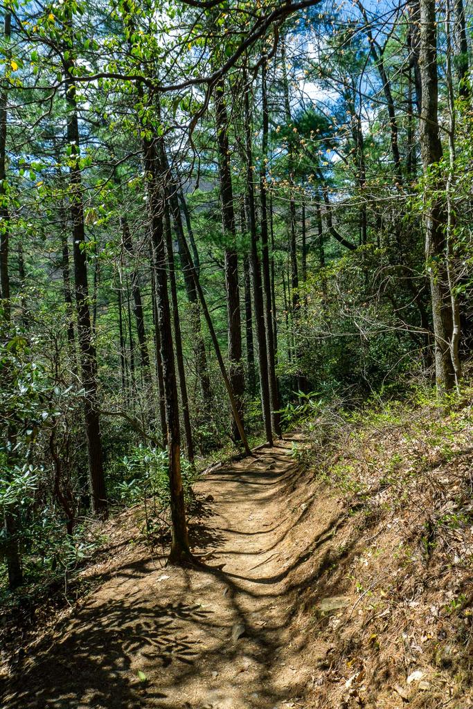
Begin the trail behind the sign board. A trail leading up Chinquapin Mountain immediately turns right. Stay straight on the Glen Falls trail, which begins level and wide.
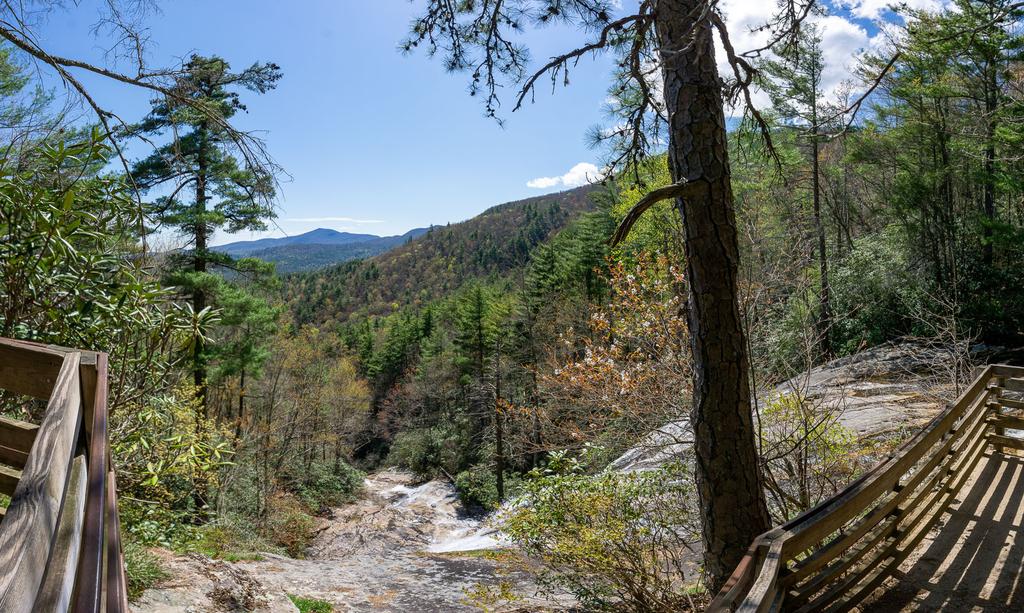
You'll come upon a nice overlook off the escarpment on the left. To the right is a fire pit with some sittin' logs. The view is of the Blue Valley, and the foothills and beyond to (on a clear day) the South Carolina Piedmont region.
The trail turns right here, and begins a moderately steep downhill through a mixed forest of medium-aged trees (though some reach fairly impressive sizes). You'll find lots of galax on the ground and plenty of rhododendron and mountain laurel along the way. On its way down, the trail has many steps built in to ease your descent, but with lots of roots, a wet spot or two, and some erosion, the trail is moderately rough overall.
You'll reach a switchback near some cascades above the falls. A side path leads to a small overlook with railing to keep onlookers out of the creek and off the slick rocks. This would be a good idea - you don't want to use these cascades as a waterslide!
The trail pulls away from the creek and you'll reach another split. Turn right to reach the creek again, and another railed overlook at the brink of the main upper falls. Here you get a spectacular view of the water spilling over the sheer rock cliff, as well as the distant mountains and valleys afar. The side path is a bit rougher than the main trail, but very short.
Return to the split, and go straight. The trail travels away from the creek for a short while, around the nose of the ridge, letting you get a through-the-woods view of the next cove East. The trail switches back again to the right, then heads back toward the creek before coming out at the bottom of the upper falls.


The water comes down in two distinct falls; the right side generally has more water. Be careful if you decide to venture very near the falls - the bank is steep and slippery, and the rocks are slippery as well. There is a large flat area great for safe viewing that won't damage you or the fragile environment. In normal or low water flow, it is possible to get out onto the rocks below the falls. But it's not exactly flat, and the creek immediately begins its drop over the second set of falls, so it's not recommended.
The trail makes a left at the falls, which marks the tip of another switchback, and continues down the ridge. You'll wind through another set of short switchbacks before coming out at the base of the lower falls.
You're closer to the creek than at the upper overlook, but the rocks still aren't level. The creek does continue over another, small falls, so be careful here as well if you go out on any rocks. A perfectly safe viewing area is located on the trail at the edge of the creek, so enjoy the view from there.
Though the creek does go over another small falls below the middle tier, it's not as nice as the upper two. Most visitors will be content with seeing the main upper and lower drops, so this hike ends here.
Return to your vehicle on the same path. Remember: it's all uphill, so allow extra time for the return trip!

This site is part of the
WNCOutdoors.info network
Western North Carolina
Hiking | Mountain Biking | Waterfalls
Advertising Information | Contact Us
©1996-2025 CC-BY-SA | Privacy Policy